Western counties will “see the strongest of the winds” when Storm Kathleen hits Ireland tomorrow morning with “quite an active couple of days ahead,” according to Met Éireann meteorologist Mark Bowe.
A Status Orange wind warning will be in place for counties Cork, Kerry, Waterford, Galway and Mayo from 7am until 5pm.
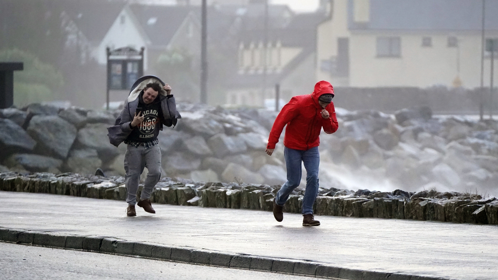
Met Éireann said it will bring gale force southerly winds, with some severe and damaging gusts.
It could cause difficult travelling conditions, fallen trees and power outages.
“We’re in this period of spring tides too, so we’re going to see some coastal flooding, some wave overtopping so very treacherous conditions, particularly on those exposed coasts,” Mr Bowe said.
All of Ireland will be under a Status Yellow wind warning from 7am to 8am, with Mr Bowe saying it will be “quite a windy day overall”.
The very strong and gusty southerly winds associated with Storm Kathleen could cause fallen trees, flying debris and some coastal flooding.
Speaking on RTÉ’s Morning Ireland, Mr Bowe said a band of rain will move across the country from tonight into tomorrow morning.
“The rain will be heavy at times and remember, the ground is very saturated, so it’s going to cause very tricky conditions, especially for farmers out there, especially in the west, as the soils are very saturated and we do have plenty of rain on the way ahead of Storm Kathleen,” he said.
“It’s been a wet couple of days overall, but this certainly isn’t helping things.”
Mr Bowe said that once the storm passes, it is “going to remain unsettled” and “we’re still going to see plenty of showers”.
“We will see some downed trees and there’ll be some power outages, there’ll be plenty of debris on the roads as well, so with very difficult travel conditions,” he added.