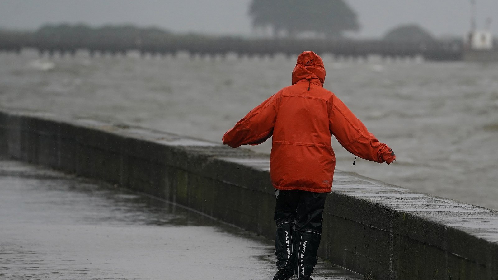
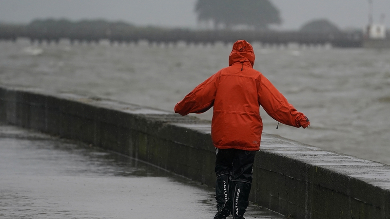
People are advised to stay away from coastal areas today as Storm Kathleen moves across Ireland bringing severe winds and the potential for flooding.
Storm Kathleen is expected to have the biggest impact in coastal areas from Waterford around to the west coast up as far as Mayo.
Meanwhile all of Ireland is under a yellow warning for wind until 8 o’clock this evening.
An orange wind warning is in effect for counties Cork, Kerry and Waterford from 7am until 2pm and a second orange warning is in effect for Galway and Mayo from 9am to 6 o’clock this evening.
Local authorities in the five counties affected are on standby for any impacts from the storm such as fallen trees, spot flooding and traffic disruption.
⚠️Orange weather warning updated ⚠️
Status Orange – Wind warning for Cork, Kerry and Waterford
Valid : 07:00 Saturday to 14:00 SaturdayStatus Orange – Wind warning for Galway and Mayo
Valid: 09:00 Saturday to 18:00 SaturdayKeep up to date here⬇️https://t.co/t2JoveRUyC pic.twitter.com/PTOdsUGohB
— Met Éireann (@MetEireann) April 5, 2024
Met Éireann say Storm Kathleen will bring gale force southerly winds with some severe and damaging gusts which could possibly lead to difficult travel conditions, some power outages and wave overtopping.
People are being advised to be very careful driving and to stay away from coastal areas.
Motorists are being urged to drive with care and to be mindful of other road users, including cyclists and pedestrians.